
Precision for Development
Land surveying for infrastructure and property — from title & boundary (cadastral) to high‑resolution topographical mapping. We use GNSS, Total stations and laser scanning to deliver reliable, TMH11‑aligned datasets.
TMH11 workflows
Extensive SANRAL experience
City of Cape Town projects
GNSS • Total Station • LiDAR
Core Services
Survey solutions that support engineers, developers and property professionals.
C
Cadastral Surveys
Boundary determination, subdivision & consolidation plans, servitudes and SG submissions aligned to South African standards.
T
Topographical Surveys
Dense surface models, breaklines and contours for design — delivered as DWG/DXF with control & metadata.
E
Engineering & As‑Built
Setting out, as‑built verification and monitoring for roads, utilities and structures.
Laser Scanning
Static scanning for façades, sectional titles, bridges and plants — registered point clouds and meshed deliverables.
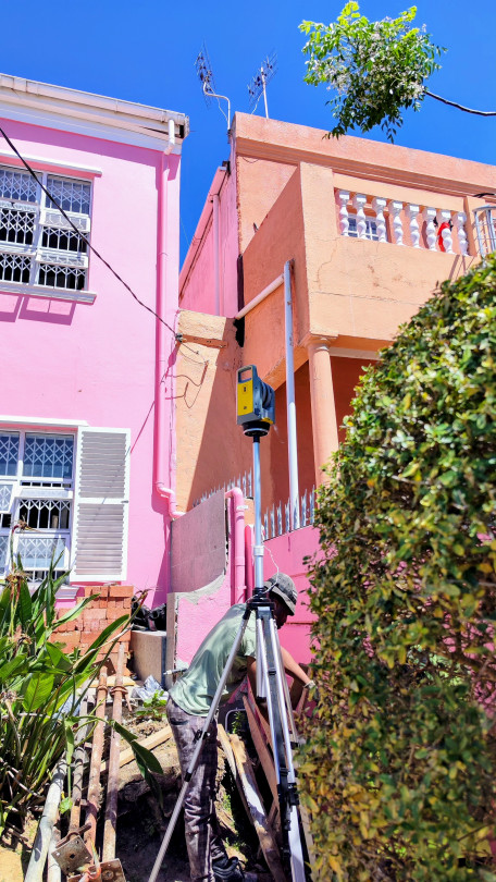
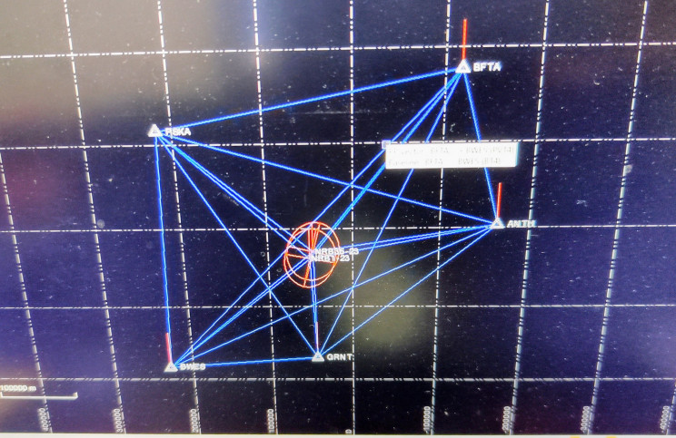
GNSS Static Control
Establishment of site control & benchmarks tied to the South African coordinate system.
Q
Quality & Standards
Survey reports, adjustment logs and raw data with outputs aligned to TMH11 where required.
Need a survey for your next project?
Send your scope and we’ll return a clear programme and fee proposal.
Why Parker Surveys
Modern Instruments
GNSS, total station and laser scanners for efficient, accurate capture.
Engineer‑Ready Data
DWG/DXF, CSV and GIS formats with clear layer naming and metadata.
Local Expertise
Western Cape projects for municipalities and national roads, including SANRAL assignments.
10k+
Hectares mapped
1000+
Parcels verified
200+
Projects delivered
100%
CAD/GIS ready outputs
Recent Projects
A snapshot of our civil and cadastral work.

National Road Topographical Surveys
Topographical survey for road rehabilitation with TMH11 deliverables.
Boundary Re‑establishment
Cadastral verification and SG diagram updates for subdivision.
Bridge Laser Scans
High‑density point cloud for structural assessment.
Ready to talk?
We respond within one business day.

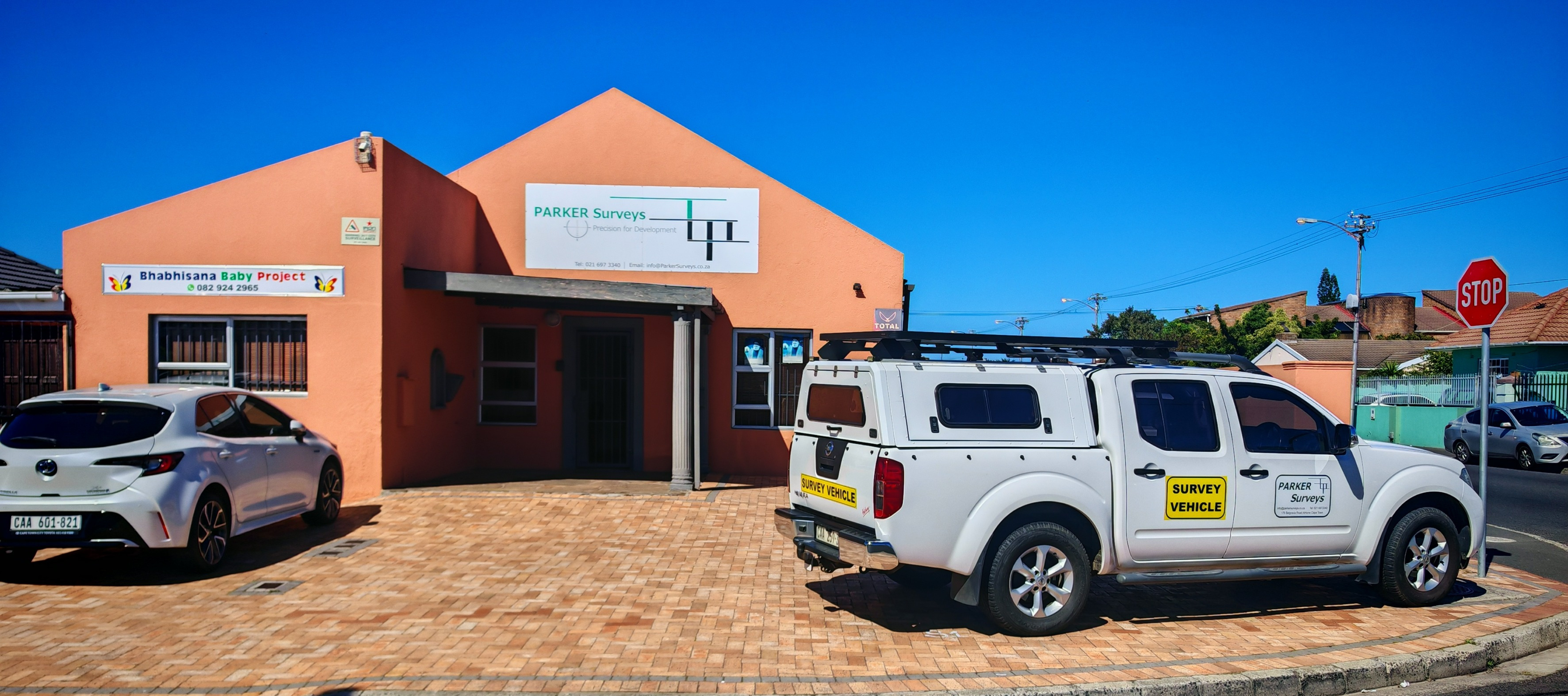
PARKER Surveys
Precision for Development — cadastral & topographical survey specialists in Cape Town and the Western Cape.
© 2025 Parker Surveys. All rights reserved.
Contact
Email: info@parkersurveys.co.za
Phone: +27 (0)21 697 3340
179 Belgravia Road, Forbes
Cape Town, South Africa